Jack Perkins Track and Lighthouse Walk
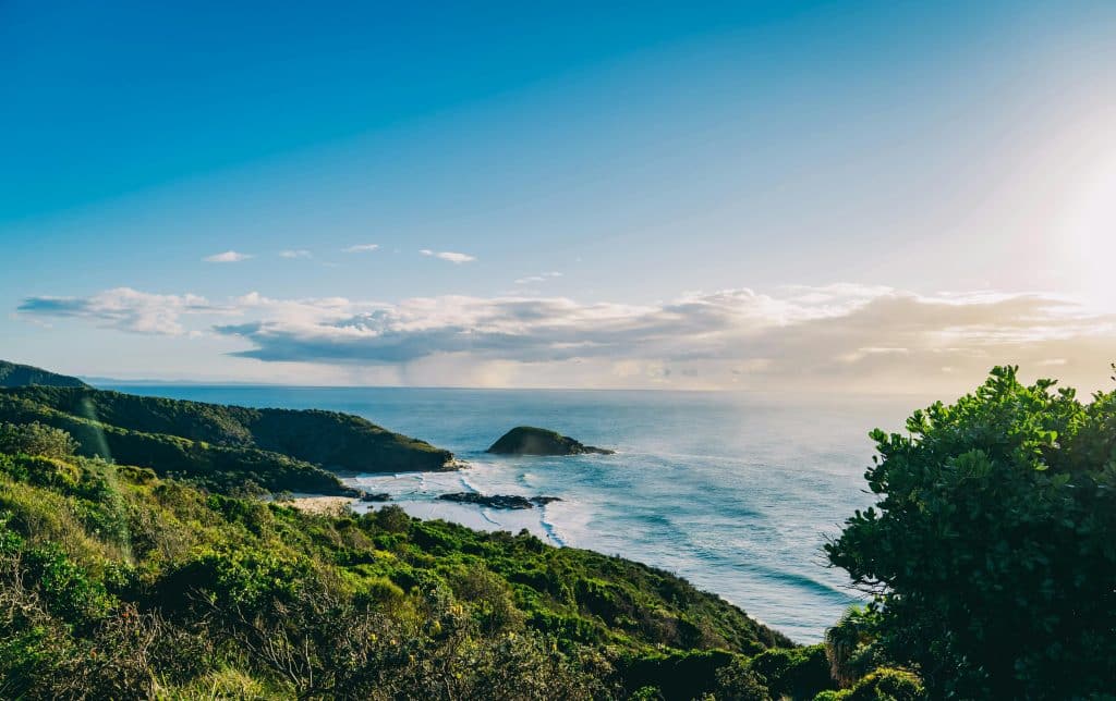
Distance: 2 kilometre return Difficulty: Moderate to difficult (short, but very steep) The starting point is at the Captain Cook Lookout. Before venturing down to North Smoky Beach, it is recommended to walk up to the lighthouse. The access is also very steep, a good warm-up for the Jack Perkins Track. From the lookout, the […]
Dondingalong Forest Walk
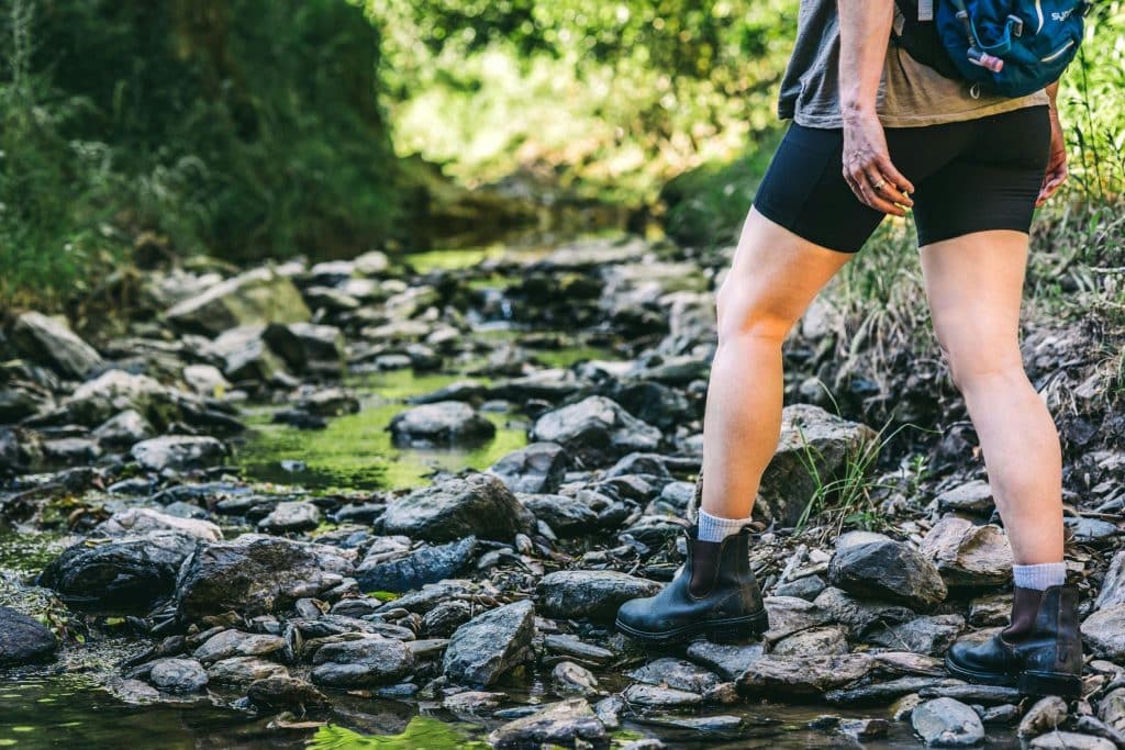
Distance: 7.5 kilometres Difficulty: Easy At the Maria River State Forest sign on Pipers Creek Rd you can park and start walking on the numbered trails. All of them are quite well maintained. Not all the trails are signposted. On first glance, it looks complicated, but it’s not really difficult if you follow the instructions […]
Crescent Head Pool to Back Beach Walk
Distance: 3 kilometres Difficulty: Easy Take this track if you are looking for a stroll away from the village hustle and bustle. Start at the car park at the swimming pool off Baker Dr. Cross Baker Dr, and walk up Charles Perry St, take the first left to Kinchela St. Turn right. At the end […]
Big Hill South Walking Trail
Distance: 5 kilometres Difficulty: Easy A beautiful walk with varied landscapes. In spring there is an abundance of wildflowers. The walk starts 12.5 kilometres south of the Crescent Head Village. From the National Park pay station at Limeburners Creek drive up on Big Hill on Point Plomer Rd for 1 kilometre. At the top of […]
Big Hill Rainforest Walking Track
Distance: 1.4km loop Difficulty: Medium Big Hill is 11km south of Crescent Head, at the entrance point to Limeburners National Park. A beautiful walk starts right here at the car parking and picnic area. To warm up before tackling the steep ascent on the seaward side of Big Hill it is recommended to first take […]
Walk to Arakoon and Trial Bay Gaol
Difficulty: Easy The most popular walk in South West Rocks is the beach walk towards Arakoon and Trial Bay Gaol. An alternative is the well-developed and shady track parallel to Landsborough Street and Phillip Drive. There are numerous options to shorten or extend a walk in this area but you need to consider the tides. […]
The Easy Way Walk, Hat Head
Distance: 5 kilometre Difficulty: Easy Starting from the footbridge in Hat Head, walk south across it, and keeping right, head up towards The Gap. About 50 metres after the end of the bridge, turn right into a path. Follow the path at the back of houses to Kinchela Street. Turn right and down towards the […]
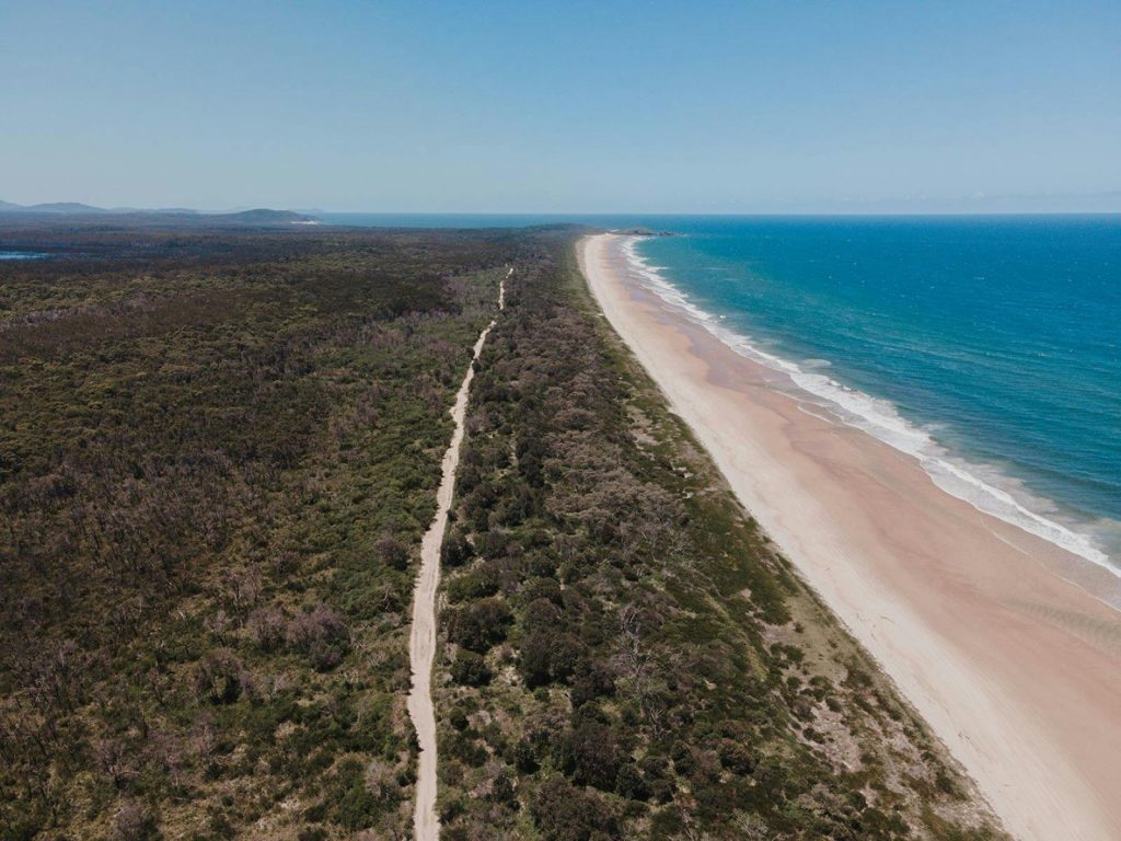
Going South Walking Track

Distance: 12 kilometres Difficulty: Moderate The walk from the village of Hat Head towards Crescent Head. The track winds along the side of the cliffs to Kemps Corner. It is about 4 kilometres to Hungry Gate campground. This is part of Hat Head National Park and no dogs are allowed. Start at the picnic shelter […]
Gap Beach Circuit Walking Track
Distance: 5 kilometres Difficulty: Moderate to Difficult A walk with some steep sections through rainforest areas and along the beach. From Arakoon Road turn into Gap Beach Road. After a sealed section it turns into a dirt road which is best navigated with 4-wheel drive vehicles. There are rutted, steep sections, and driving this road […]
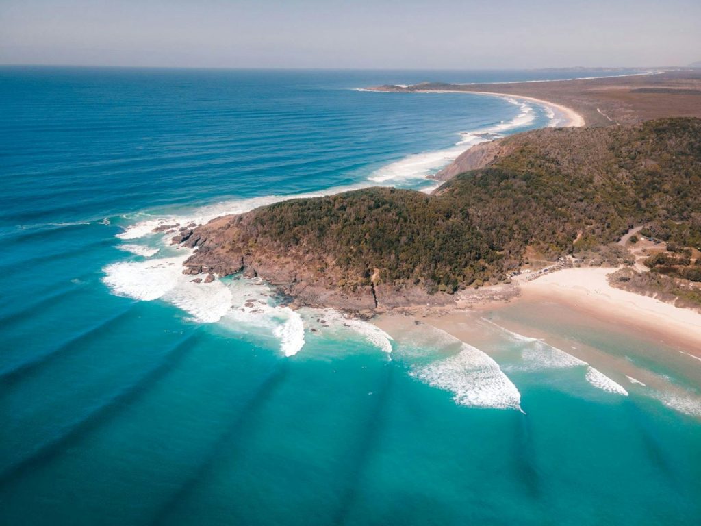
Circumnavigating Korogoro Point “The Hat” Walking Track

Distance: 4 kilometres *allow 2 hours or more Difficulty: Moderate to Difficult Walk south through the caravan park and cross the footbridge. Keep left. The well-maintained track leads north, parallel to the creek. After 600 metres, turn east above the sea where the track becomes a little more difficult and is recommended for “experienced bushwalkers […]