Back Creek to Macleay River Breakwall Walk
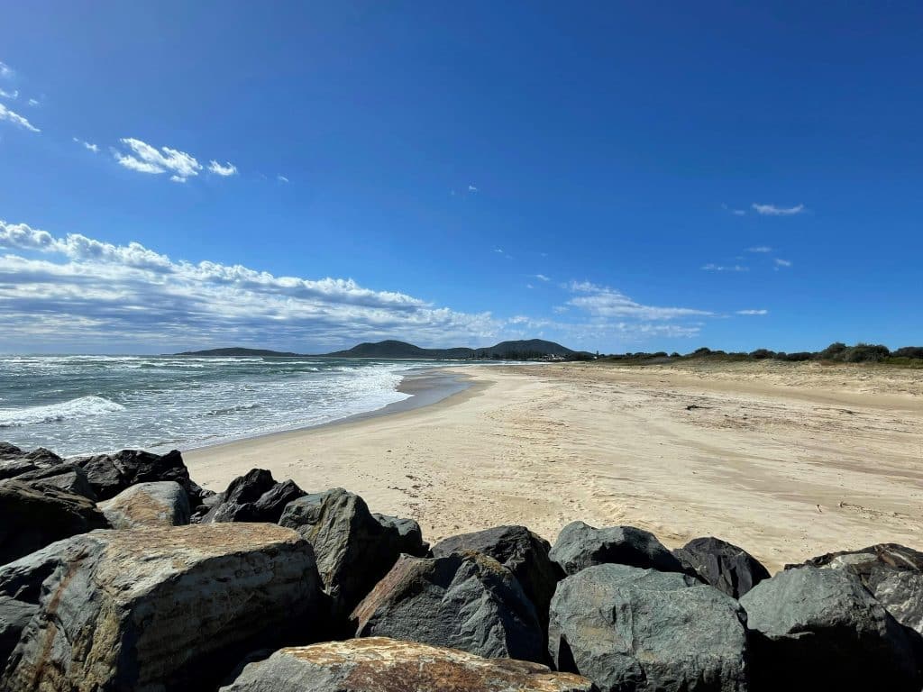
Distance: 4.5 kilometres Difficulty: Easy A pleasant bush and beach walk close to the township. The track is not clearly marked but you can’t get lost with the beach on one side and the mangroves and road on the other side. Park in the car park at Back Creek in South West Rocks. Start at […]
West Kempsey Walk
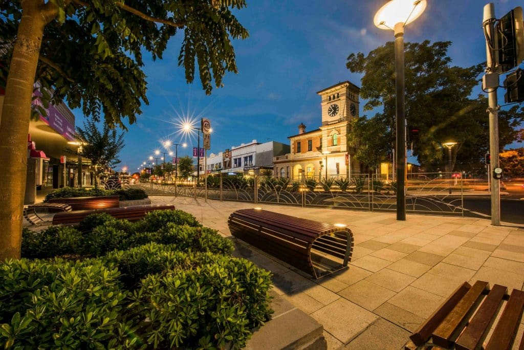
Distance: 6 kilometres Difficulty: Easy The highlight of this walk is a visit to the 2.75-hectare Wigay Aboriginal Cultural Park. There are also numerous food trees, some of them labelled and picnic tables inviting rests along the way. Starting at the car park on Sydney Street in West Kempsey, go to Belgrave Street. Cross Belgrave […]
Stuarts Point to Grassy Head Walk
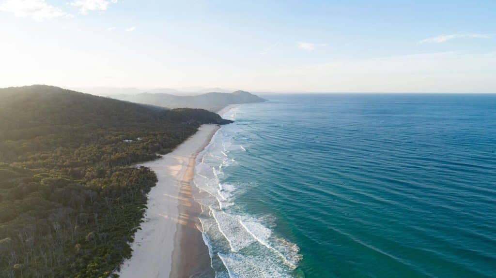
Distance: 10 kilometres Difficulty: Easy A circular walk along the beach and back on the footpath parallel to the road- or reverse. This walk begins with a stroll across the Stuarts Point bridge to the beach. Turn north and walk for about 2 kilometres to the access to the Grassy Head Holiday Park. The track […]
South to East Kempsey Walk
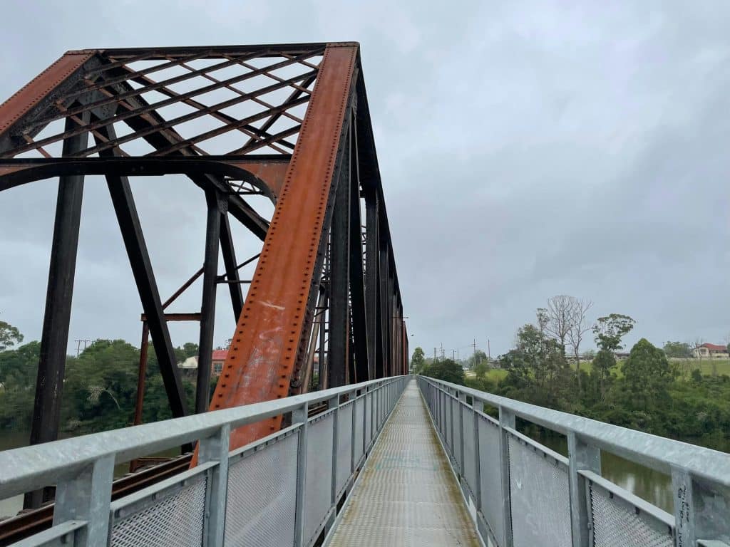
This walk takes you on the footpath across the railway bridge to South Kempsey, then to East Kempsey, through the cemetery and the twists and turns of the residential area. The starting point is the Sydney Street/Verge Lane car park. From the car park, cross Sydney Street and walk diagonally across the playing fields towards […]
Sandy Tracks Walk
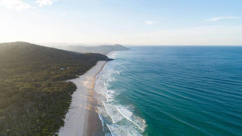
Park near the Stuarts Point Holiday Park. From a parking spot near the Holiday Park Entrance, go to Marine Ave South and turn left. After about 50 metres, turn right at Third Ave to Second Ave, then turn left. Walk along Second Ave. After a sealed section it turns into a sandy road. Near the […]
North Macleay Arm Walk
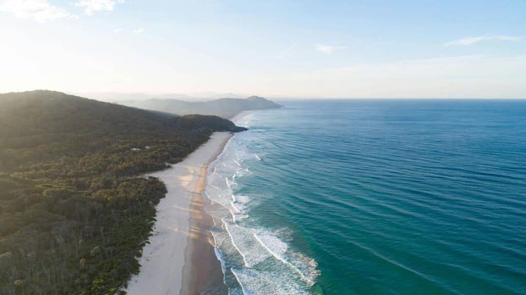
Distance: 6km Difficulty: Easy – Walk at low tide only A beautiful walk along roads and the river amongst the paperbarks, casuarinas, banksias and eucalypts. Park near the Stuarts Point Holiday Park entrance, Walk back along the road towards the shops. Turn right at the Community Hall, walk along Marine Parade to the end. Stay […]
Boyters Lane Bird Hide Walk
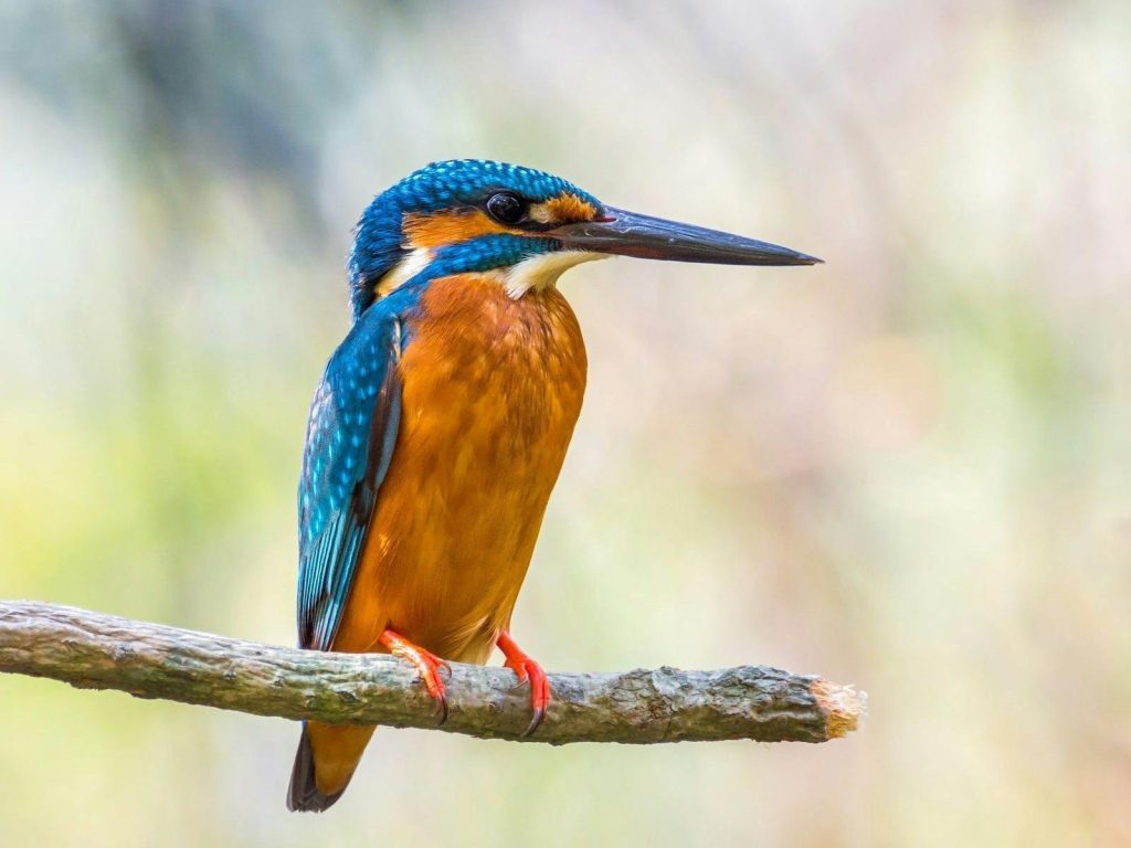
Difficulty: Easy Just before crossing Spencers Creek and reaching South West Rocks, Boyters Lane is on the left. There is plenty of parking in front of the bird hide with information panels. From the bird hide, you can follow the signposted walkways which, in part, are laid out in a figure-eight pattern. The site was […]
Gladstone to Smithtown Walk
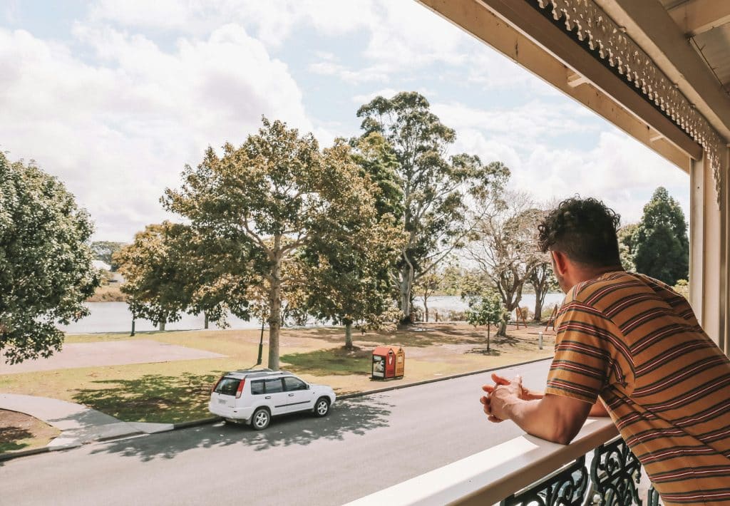
Distance: 6 kilometres Difficulty: Easy Linked by a traffic bridge, Gladstone and Smithtown are located on opposite banks of the Macleay River. Gladstone invites one to explore several cafes, the Heritage Hotel, interesting shops and the Kempsey Shire Community Art Gallery. The very popular Gladstone Quality Markets are on the 3rd Sunday of every month […]
A Stroll to the Beach Walk
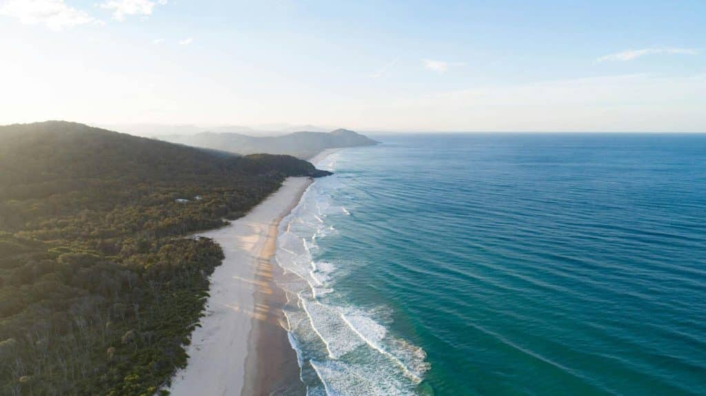
Distance: 1.5 kilometres or as far as you want to go Difficult: Easy When in Stuarts Point, crossing the bridge over the Macleay Arm is almost a must. Even just standing on the bridge, watching the fish or just the pattern of sunlight in the water can entertain for quite some time. Park near the […]
South to East Kempsey Walk

This walk takes you on the footpath across the railway bridge to South Kempsey, then to East Kempsey, through the cemetery and the twists and turns of the residential area. The starting point is the Sydney Street/Verge Lane carpark. From the carpark, cross Sydney Street and walk diagonally across the playing fields towards the railway […]
